
CASE STUDIES
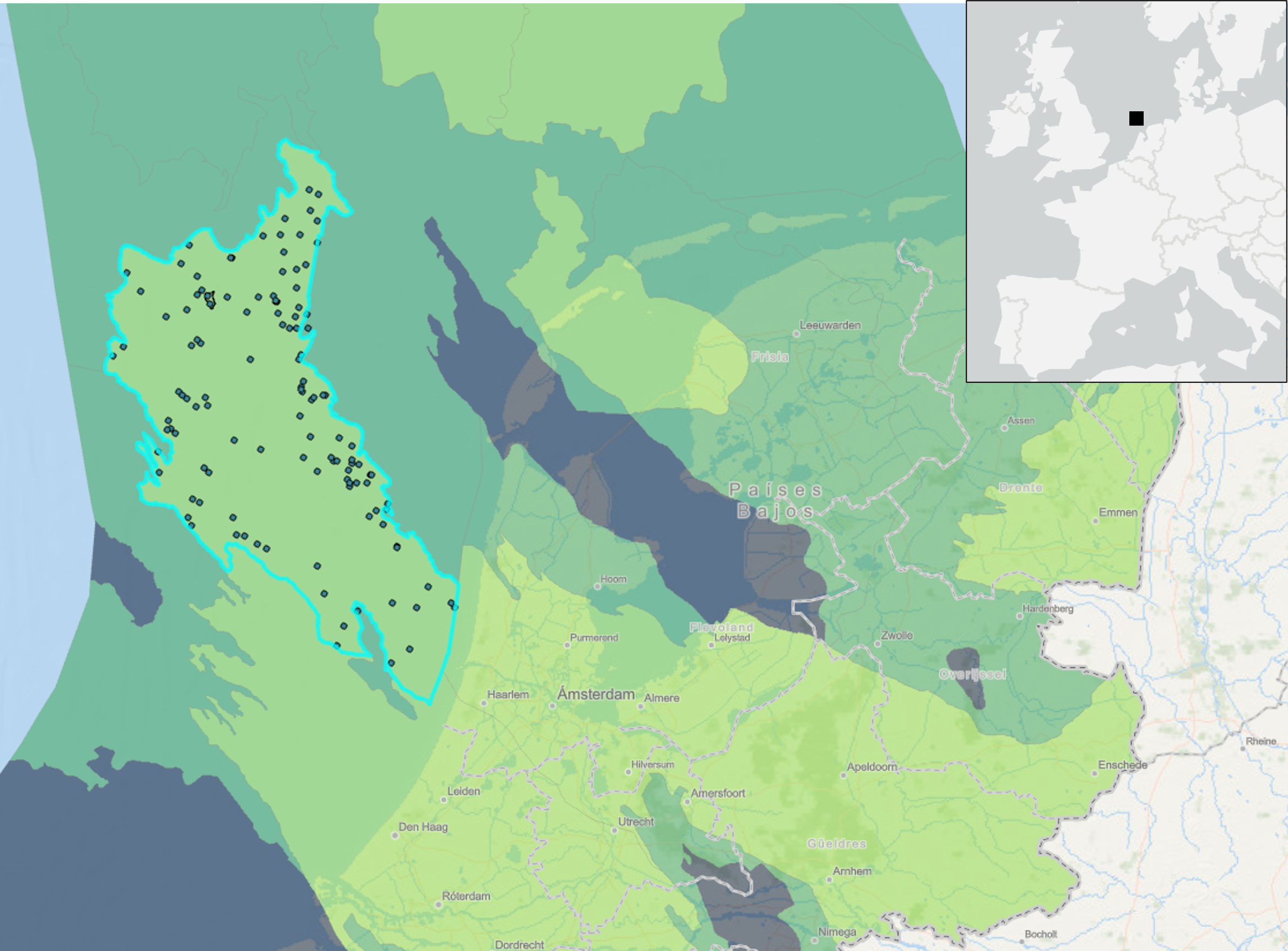
The latest COP28 conference concluded with a clear mandate for deep and rapid reductions in greenhouse gas emissions to keep the global temperature increase within the 1.5°C limit. To achieve this ambitious goal, the implementation of removal technologies, such as carbon capture and storage (CCS), has been recognized as crucial. This case study showcases an example in the Broad Fourteens Basin of the Dutch North Sea, where a comprehensive assessment was conducted to evaluate the feasibility of a potential CO₂ storage site. Utilizing a wealth of publicly available seismic and well data, this study leverages the holistic expertise of oil and gas exploration geologists to identify, de-risk, and estimate the capacity of the selected prospect. The focus is on a depleted gas field, now repurposed as a potential target for CO₂ storage, characterized by the world-class Late Permian Slochteren Formation sandstone, overlain by an evaporitic seal from the Late Permian Zechstein Group.
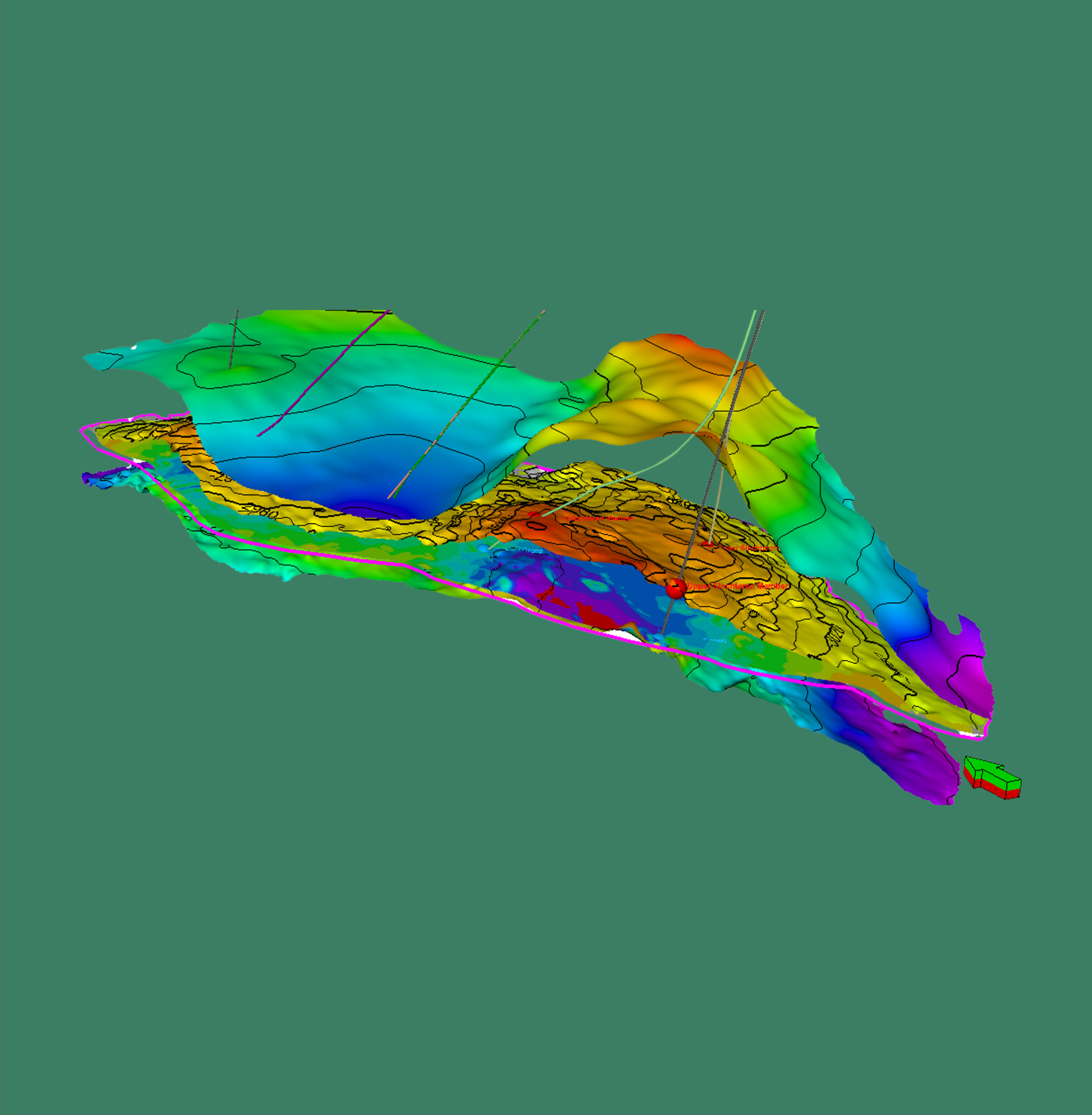
The methodology employed in this case study includes structural mapping of several key horizons and associated bounding faults, well log analysis for estimating potential storage volumes, and structural and geomechanical modeling of fault and fracture stability. The prospect area is defined by two major extensional faults, dipping to the east and west, which do not propagate across the overlying evaporites, acting as an effective decoupling layer between sub- and supra-salt deformation. Spill-point analysis reveals that the closing contour line is at -3100 meters, defining a prospect area of 5.7 km² with an estimated volume of 5.8×10⁸ m³. This detailed assessment ensures that the selected site in the Broad Fourteens Basin is a viable candidate for CO₂ storage, with robust geological and structural integrity.

Contact us
"*" señala los campos obligatorios